Mapping and Modeling Attributes of an Arctic – Boreal Biome Shift: Resource Management Implications within the ABoVE domain
Overarching Objective:
Elucidate and advance understanding of vegetation changes taking place across the ABoVE domain using satellite data, field measurements, and modeling.
Specific Objectives:
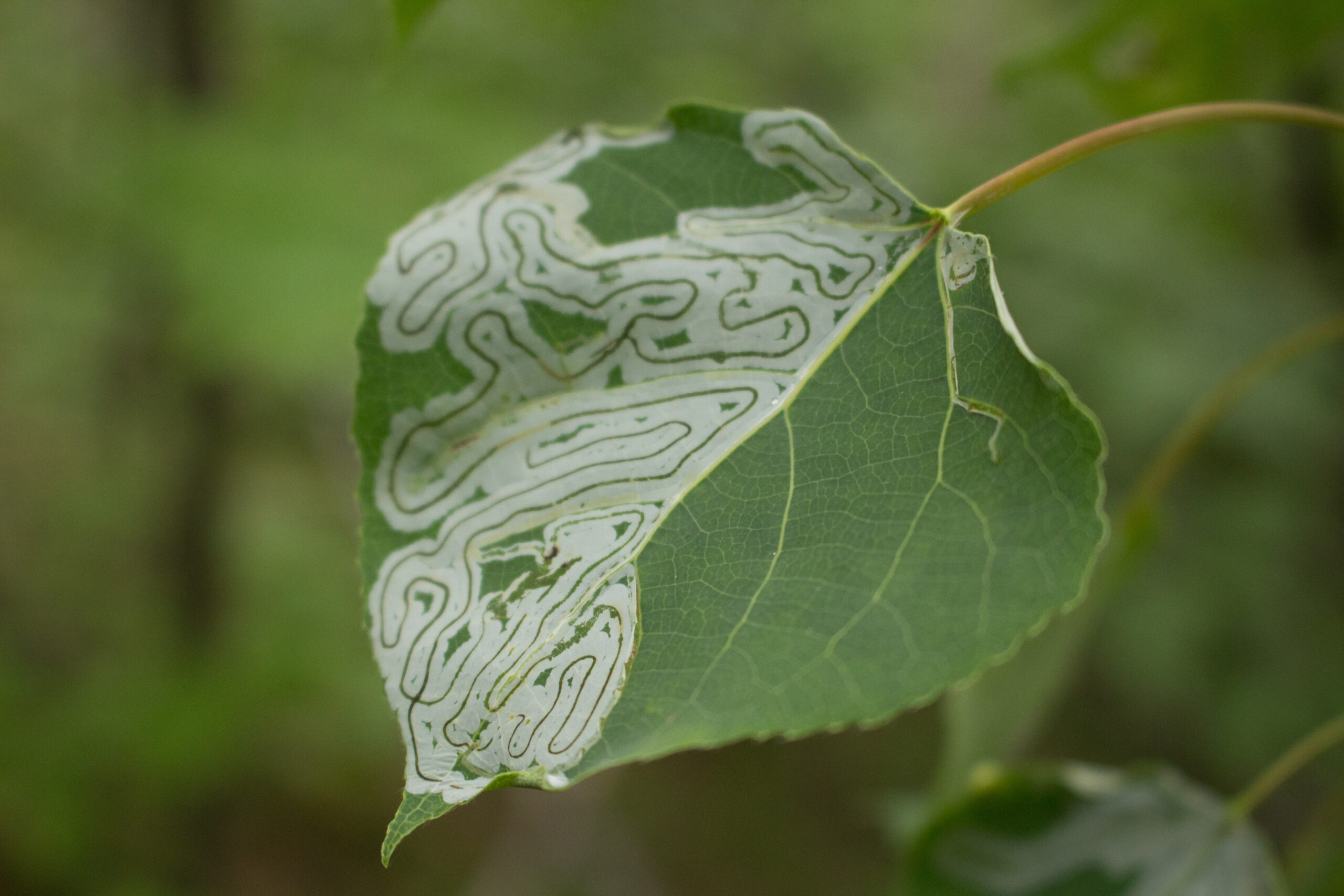
1. Compile and utilize a wide range of field site data collected by ourselves and collaborators together with multi-scale satellite imagery to map arctic vegetation cover across the North Slope of Alaska and northwestern Canada for two time periods, documenting vegetation cover as a continuous variable and accurately capturing changes in shrub and lichen cover through time.
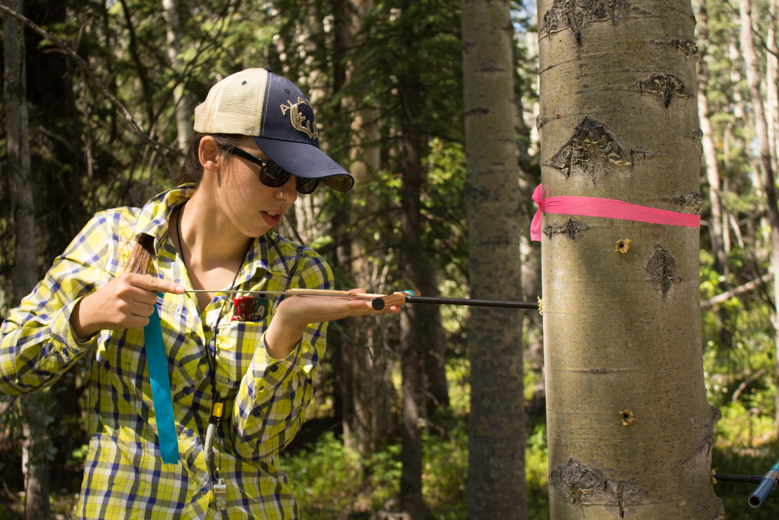
2. Compile and utilize field measurements of productivity and mortality rates for multiple boreal tree species across a wide range sites in Alaska and Canada, augment these using field techniques to extend their temporal extent, and link these data with multi-scale satellite indices of productivity and mortality.
3. Spatially model boreal tree species productivity and mortality across the ABoVE domain using both statistical and process models to first reproduce observed changes (from coupled field and satellite measurements) and then to predict change over the next few decades (thereby representing range distributions).
4. Work closely with collaborators in various land management agencies, including the National Park Service (Arctic and Central Alaska Networks), the Fish & Wildlife Service, and two Landscape Conservation Cooperatives (Arctic and Northwestern Boreal) to disseminate results and outcomes in various formats for education and professional audiences, as well as to inform management indicators, actions and research priorities.